Travel, Atlases, Maps and Photographs
Travel, Atlases, Maps and Photographs

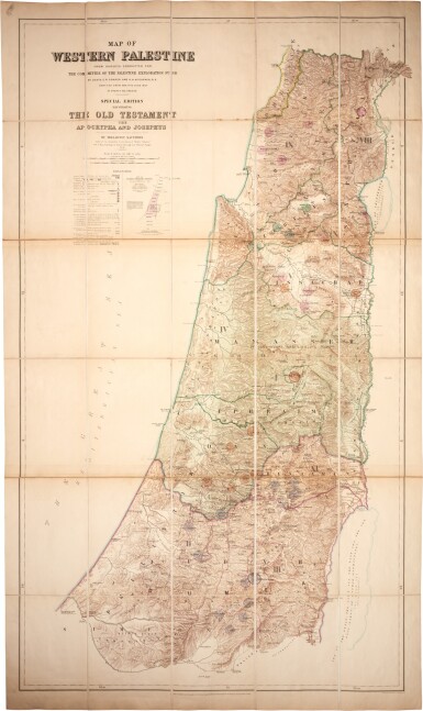
Palestine—C.R. Conder and H.H. Kitchener | 2 large engraved folding maps of Western Palestine, 1882
Lot Closed
May 24, 01:57 PM GMT
Estimate
800 - 1,200 GBP
Lot Details
Description
Palestine—C.R. Conder and H.H. Kitchener
Map of Western Palestine from Surveys conducted for the Committee of the Palestine Exploration Fund... Reduced from the One Inch Map... Special Edition illustrating the Old Testament and Apocrypha and Josephus [—the New Testament also the Talmud and Josephus]. London: Edward Stanford, October 2nd, 1882
(1595 x 942mm. each), two large hand-coloured engraved folding maps, each in 30 sections, mounted on linen, to the scale of 3/8 inch to one mile, original slip case (labelled "Ancient Palestine O.T.–N.T."), slightly browned at folds, small stain to upper left margin of Old Testament map, slip case sunned and rubbed at extremities
